Categories
Trip ideas

Wildernessroad in the north

A diverse alternative to E6. The road goes past Norway's second largest lake and Northern Norway's highest mountain.

Nordland is Norway’s second largest county and clearly the most extensive. If you are heading along the E6, this detour can be a welcome break and variation from the beaten track. Of course, it takes longer than driving the E6, but we are happy to exchange some time into beautiful nature experiences. 

This trip will take you along Bjørgefjell national park and Røssvatnet.  In this area, the possibilities for fishing, hunting and hiking are almost limitless. Some stretches are narrow gravelroads not suited for the largest motorhomes, but most motorhomes under about 8 meters should have no problems. Even small caravans are OK.
The trip starts when you turn into FV274 at Bjortjonna some kilometers north of Majavatn on E6. The first part takes you trough the national park and we are driving alongside “Fiplingvatnet” and slings between mountain and forest villages. Nearby Øvre Fiplingvatnet you will find Kvannli Gård which also has a campsite. Even further up along the longstretched “Fiplingvatna” you will find Strandli Gård with a small hotel, a restaurant and cheese production.

You will find “Børgefjellskolen” a little further along the FV274 if you choose to take the road on the east side of Nedre Fiplingvatn. They have rental of cabins and apartments, and it is also a verry good starting point for those who want to visit one of Norway’s most wilderness-dominated national parks. We others can at least enjoy the view towards Børgefjell, with Kvigtind and Golvertind while we drive through Storfiplingdalen. If you want to spend the night at a a fantastic freecamp we suggest a detour to Unkervatnet

After some kilometers we encounter E73 and turn right towards Hattfjelldal. After passing Grytselv fjellgård the view opens up towards the “Hatten” (The Hat 1128m) -a mountain resembling the famous headgear. If you want to spend the night at a fantastic freecamp we suggest a detour to Unkervatnet

In Hattfjelldal we turn left onto FV291 to drive alongside Røssvatnet and Okstinden. After Røssvatnes was regulated it is has 219 square kilometers surface area and Norway’s second larges lake after Mjøsa. The road largely follows the banks of Røssvatnet up to the borders of Hemnes muncipality. At the convergence of the two regulated lakes Røssvatnet and Tustervatnet you will find a large area and freecamp at Tustervasstraumen. See below.


Tustervasstraumen – Freecamping along FV291 

The road goes over to FV331 and continues to the small town Bleikvasslia. If you are travelling with kids you should stop at “Barnas naturpark” (The childrens naturepark). Here you will also find “Køtaplassen” a rebuildt southern Sami residence, a so called “Sjeltie” meaning meetingplace. 

From Bleivasslia we continue on FV806 towards Korgen and back into E6.

On the map in the sidebar we have plotted some nice freecamp sites and several places for accomodation or eating. This detour will definitely be worth your extra time on the way for north or south along the E6.

Categories
Trip ideas

The Telemark Canal

The only canalsystem in Norway connected to the sea.

We will suggest a trip along the Telemark Canal and give you information of sites to see and places to stay with your motorhome og campervan. As always we focus on beutiful freecamp (wildcamp sites) for places to stay overnight with your campervan.

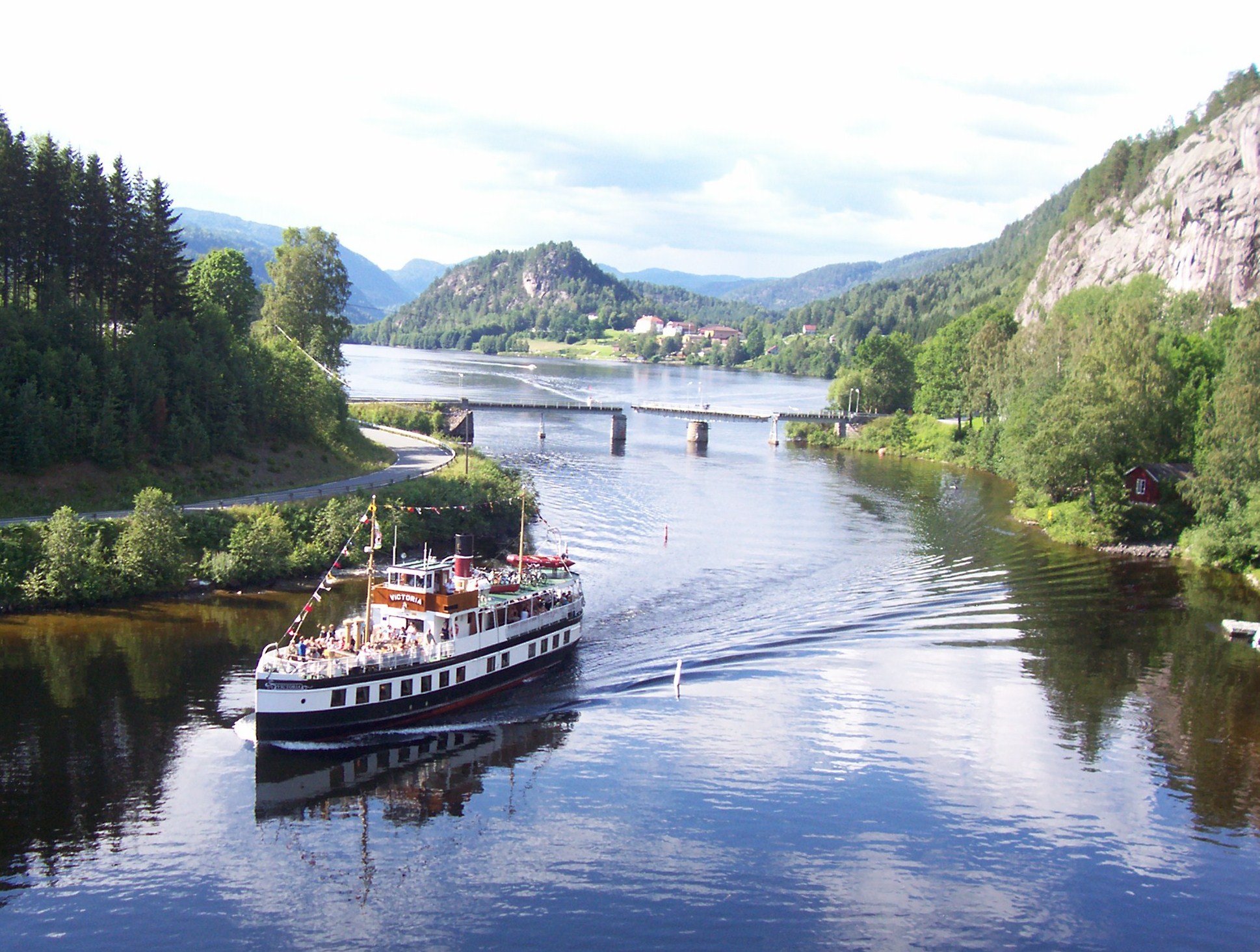
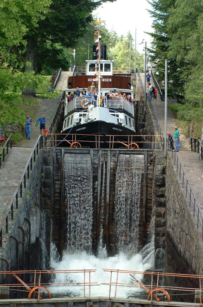
The Telemark Canal have 18 lock levels divided over 8 lock systems to lift boats 72 metres above sea level to the lake of Flåvatn. From here beautiful lake and river reaches take the traveller on to Dalen, 150 km inland, in the heart of the mountains of southern Norway.

The Telemark Canal was completed in 1892 and 500 men had worked for 5 years to bring this waterway into the heart of Telemark. The canal is a living heritage site, and has kept its nineteenth century air, with manual operation of most of the lock gates. The beautiful old walls and lock systems have been preserved in their original form. Along the banks of the canal you can still see the old lock-keepers houses, the smithies, the sawmills, the watchmens cottages and the jetties with warehouses and other buildings.

The contrast between the broad agricultural districts, the wilderness and the old industrial sites makes the Telemark Canal one of the most attractive tourist destinations in Europe. In addition, the water is clean and the fish live well!

Porsgrunn / Skien

These two cities have more or less germinated into each other, and have ritch industrial traditions. The Telemark canal starts here and you can take a tour up the canal with some smaller canal boats. Day trips on the Telemark canal are arranged with a combination of canal boats and bus. The trips can be initiated from several places along the canal, and gives you the possibility to start and end at the same location. It is also possible with at roundtrip all the way to Dalen. Booking and information HERE

Ulefoss / Lunde

Ulefoss is one of Norway’s oldest industrial communities, with sawmills operating from the 1400s; mining and ironworks from the 1600s. Ulefoss is still largely an industrial site, with a number of people employed in the iron foundry and mechanical industries. Ulefoss lock system has three lock chambers with at total lift height of 10.7 meters. The Ulefoss system still stands as it was built in 1891.

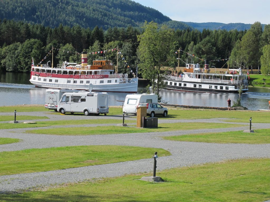
The village of Lunde has a large campsite “Telemark Kanalcamping” situated near the Lunde Locks. The canal boats are passing only a few meters from the campsite. This is a great starting point for excursions up and down the canal.

Kviteseid / Vrådal

The landscape changes to steeper mountain sides down to the canal and the highest mountains peaks to over 1000 meters. In Vrådal there are even a ski resort with 5 lifts and several slopes that makes for an attractive destination in the winter.

Dalen

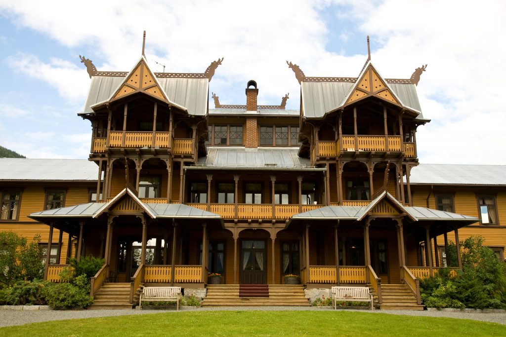
The end of the journey is Dalen at the very heart of Bandak. Among the well known tourist attractions is the “fairytale hotel” Dalen Hotel wich was completed in 1894 and the veteran ships “Henrik Ibsen” and “Viktoria” in regular traffic on the canal, between Dalen and Skien.

Dalen Hotel – Photo: Erik Solheim

Categories
Trip ideas

The Halden Canal

Suggestion for a journey through a historical landscape

This route goes from Halden to Oslo. Total distance of minimum 190km. We suggest to use at least 2 days for the trip.

Click HERE for an interactive map of the freecamp sites and other information for this trip. Access to more maps and suggestions for freecamps in the area check out the book «Freecampers Guide to Norway»

Halden Canal is part of Haldenvassdraget, located close to and along the Swedish border in the southeast part of Norway.

It is the oldest of the two channels in Norway and measures 80 km from Skulerud (Akershus) in the north to Tistedal in Halden (Østfold) in the south – a great tourist attraction with a lot of historic sites in memory of timberfloating in the 1800 and early 1900’s. There are a lot of beautiful and partially untouched nature along the canal.

There are many great experiences in and along the canal. – To mention a few;  canoe trip with camp in one of the many shelters, boat trip, fortress, bicycle tours, nature adventures and much, much more.

The route is a good alternative if You have some extra time to spend when travelling via Sweden to or from Oslo:

If you already have traveled far, it is nice to have an overnight stay in Halden before the journey begins. There are many restaurants and it is very nice to visit Fredriksten Fortress in the evening. Motorhome parking can be found at 59.1164 – 11.3804. The parking can be a bit difficult to find. Alternatively, you can stay at the Halden Canal in Tistedal 59.1251 – 11.4504 (freecamping) ca 3 kilometers outside the town center, or Fredriksten Camping at 59.1154 – 11.3981 in the center of town.

Day 1 Halden – Ørje

We start the day in Halden and drive to have a look at «Brekke Sluser»  (59.1476-11.5552) the highest water lock system in scandinavia. Next we go to Strømsfoss (59.3018-11.6582) where You will find a lot of historic sites like Strønsfoss Mølle, Holth general store, waterlocks and old steam driven boat «Thor». Now its time for coffe or lunch -Try «Møllerens Hus» where You also find and interiors-shop. For a more filling lunch You can visit Furulund Cafe (59.2289-11.6954). Next stop are Ørje where You can park the motorhome for the night at «Ørje Bobilparkering» (Kr. 200,- at 59.4833-11.6523) or other freecamps nearby (see map below). We will spend the afternoon looking at the waterlocks and go to the museum nearby the locks. You can have dinner in Ørje or at «Båtcafeen» (59.4833-11.6512).

Day 2 Ørje-Skulerud-Sørumsand-Oslo

Next day after breakfast we go to Skulerud (59.6726-11.5472) to look at the end station for an old railway. The railway was dismanteled in 1960 but some parts are beeing rebuilt for historic conservation. We will more or less follow the tracks for this railway the rest of the day. Next stop are Finstadbru (59.9400-11.4339) where we find even more remnants of the railway and an old station building beeing restored. Then we travel to Sørumsand to visit «Urskog-Hølandsbanen» museumrailway (59.9862-11.2432) wich tracks we have been following this morning. If lunchtime we have several cafés and restaurants in Sørumsand. Next we travel to «Fetsund Lenser» (59.9213-11.1519) to conclude our trip along this log-driving watersystem. We end up at the freecamp site at Tryvann (59.9864-10.6664) located at Oslo’s roof, ready for excursions in Oslo.

  • Yellow = Freecamping
  • Green = Attractions
  • Blue = Museums
  • Black = Motorhome parking
  • Brown = Motorhome servicestations